Though not high on my list, this is the closest national park to Memphis, and does have a long hike in Sunset Trail. So, I took a day just before school started up and headed over to take the hike. Hot Springs is an odd national park – rather than protect a natural area, it protects the hot springs under the city of Hot Springs, Arkansas. So, the park covers some little mountains but also some of downtown Hot Springs, and the purpose is not so much to preserve the spring water but to distribute it. There are fountains in town where anyone can fill up containers with spring water – it does indeed come out hot, but is delicious once cooled because of its unusual combination of minerals and (slightly) radioactive elements.
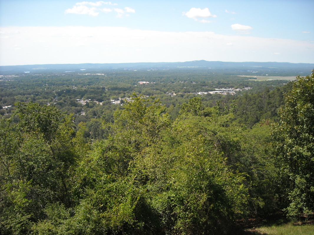
Sunset Trail is the longest trail in this small park (and the only one longer than about 2-3 miles). Sunset loops around in a big C shape, then you have to take a few other trails (including walking through downtown Hot Springs) to loop back to the starting point. The whole hike ends up being 14 to 17 miles (depending on where you read) – long, but not especially difficult. Depending on how far I actually walked, it may have been my longest hike to date. The trail follows the ridgeline of the mountains surrounding the town, but the mountains are not high nor steep. The trail cross over West Mountain, Music Mountain (the highest point in the park), and Sugarloaf Mountain. You get some nice views out over the surrounding terrain:
Sunset Trail is the longest trail in this small park (and the only one longer than about 2-3 miles). Sunset loops around in a big C shape, then you have to take a few other trails (including walking through downtown Hot Springs) to loop back to the starting point. The whole hike ends up being 14 to 17 miles (depending on where you read) – long, but not especially difficult. Depending on how far I actually walked, it may have been my longest hike to date. The trail follows the ridgeline of the mountains surrounding the town, but the mountains are not high nor steep. The trail cross over West Mountain, Music Mountain (the highest point in the park), and Sugarloaf Mountain. You get some nice views out over the surrounding terrain:
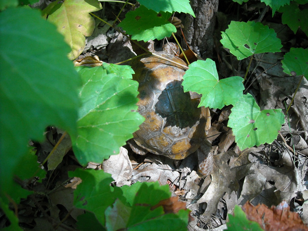
The hike is not spectacular, but is pleasant and peaceful. There is some nice wildlife – I saw a few deer, a turtle, and apparently there are wild turkeys as well.
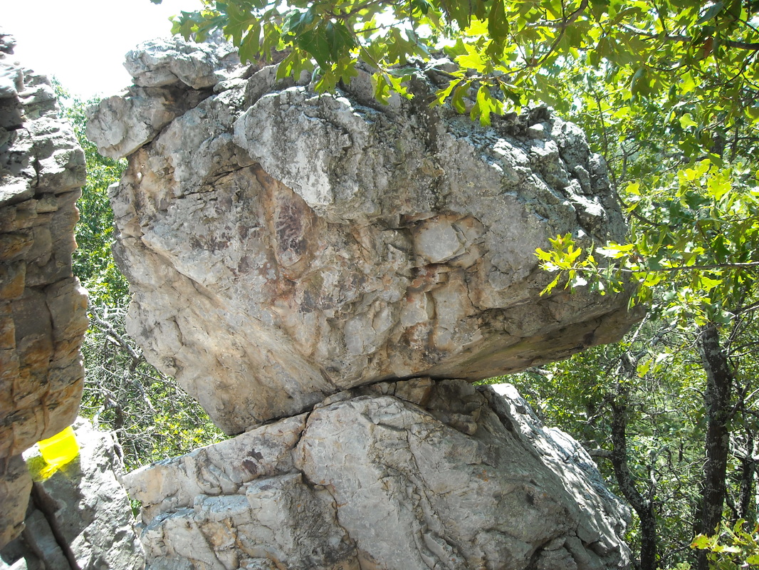
A short side track leads to Balanced Rock, an unusual rock formation:
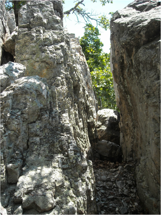
That weird yellow glow in the lower left is my plastic water bottle. Here's a neat narrow passage near Balanced Rock:
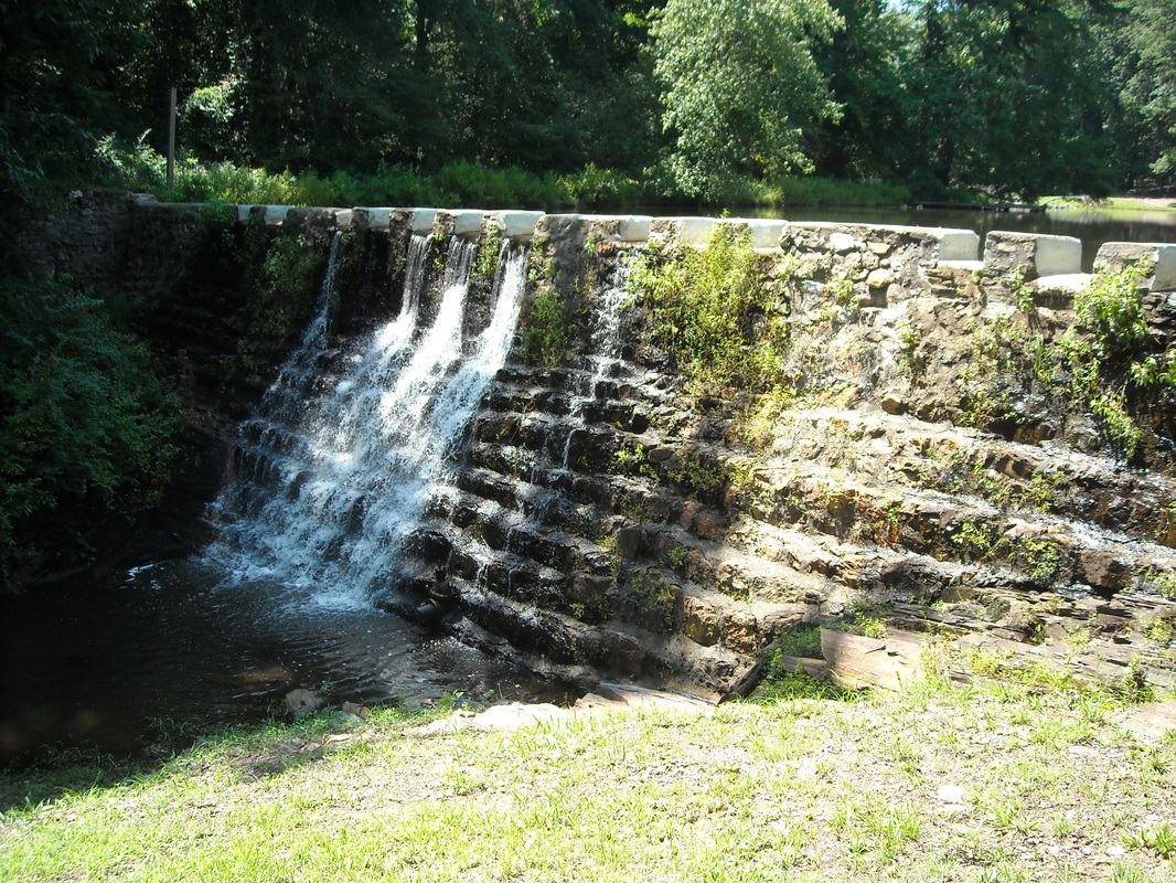
You'll need a map for the back part of this trail because you have to walk along roads and find your way back along a few connecting trails and through downtown. Through this area, there are some neat sights. This dam:
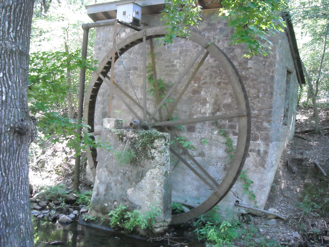
An old waterwheel:
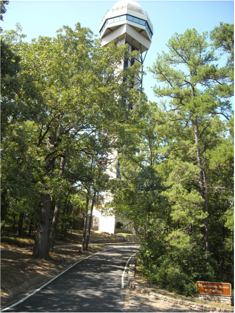
And the observation tower:
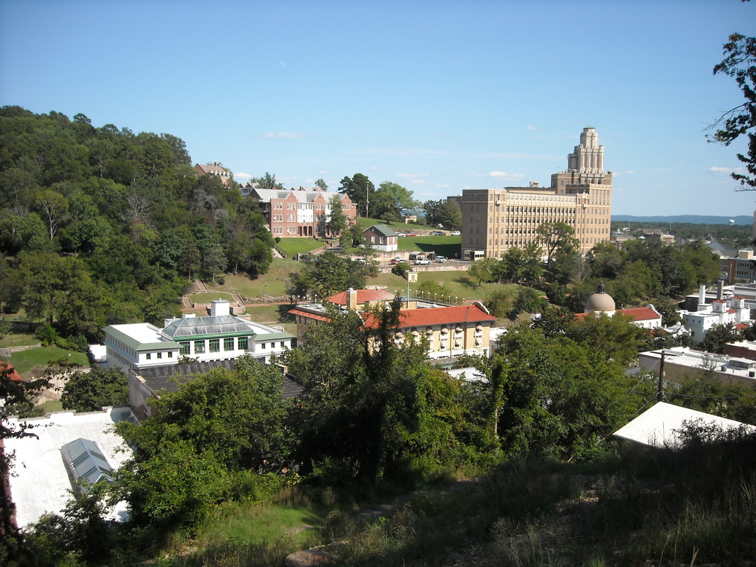
Once back through downtown, I had to use the map to find the trail back out of downtown to the trailhead. The trail (not easy to find - use the map!) switchbacks up the hill and gives you a nice view of Bathhouse Row (where people could bathe in the hot spring water - only one is still open as a bathhouse, and another is the national park visitor center) from above.
Sunset Trail is not fantastically scenic nor very challenging, but is a pleasant, calm stroll. If you'd like to try a long day hike without it being especially otherwise difficult, this is a good one!
One more photo. This is what happens to your hair after hiking 14-17 miles in warm weather with a hat on:
One more photo. This is what happens to your hair after hiking 14-17 miles in warm weather with a hat on:
